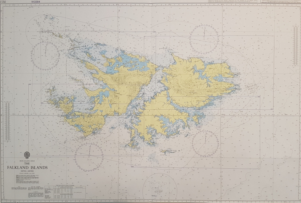
Hydrography in the Falkland Islands

FIMA co-ordinates the National Hydrographic Working Group (FI-NHWG) which meets bi-annually and oversees all matters relating to hydrography and Aids to Navigation on the islands. The Working Group is made up of stakeholders with an interest in the maritime environment and discusses data collection, work with the UKHO regarding the position and need for navigation aids. Current members include SAERI, the Falkland Islands Yacht Club, FIG Environment Department, Workboat Services, Falklands Conservation and the King's Harbour Master.
Mariners and other observers are encouraged to report any information considered to be of interest to users of the maritime environment to FIMA for inclusion in Maritime Safety Information (MSI) such as Local Notices to Mariners. Please use the forms below to report any navigationaly significant information including new or suspected dangers, changes to navigational aids or amendments to details included in publications.
Instructions for completing hydrographic correction forms
Hydrographic Correction Form - online editable
Hydrographic Correction Form - print and scan
For further information on the UKHO H-Note App please visit Hydrographic Notes (admiralty.co.uk)
